

Máni mission
The Máni mission is the first Danish-led space mission to be sent out of Earth's orbit, marking an important step for Danish space travel. The goal of the Máni satellite is to map the surface and composition of the Moon using high-resolution images and detailed topographical maps.
The satellite will be sent into orbit over the Moon's north and south poles, which are key areas for achieving the ambition of sending astronauts to the Moon again. This is particularly important in planning landing sites and mapping the movements of astronauts and robots on the Moon.
The satellite's orbit around the Moon places higher demands on the mission than previous Danish space missions. The satellite will be further from Earth than previous missions and will operate in a radiation environment that is much harsher than that found in Earth's orbit. This places high demands on the satellite's technology, propulsion and communication systems.
Visualisation of the mission
Below is a visualisation of the mission itself, from launch to measurements. The visualisation was created by our partner Space Inventor.
The Mission's Objectives
High-Resolution Topographic Maps
- By combining reflectance measurements with new so-called 'shape-from-shading' models from the Niels Bohr Institute, The Máni mission can map the Moon's topography with a resolution as high as 20 cm per pixel.
- Such maps are essential for planning the movements of astronauts or robots on the Moon and for selecting safe landing sites.
- If the method proves effective on the Moon, it could potentially be applied to Mars and other celestial bodies.
Mapping of the Moon's Reflectance
- The mission will capture images of a specific area on the Moon's surface from different observation angles. The goal is to take approximately 10 images of the same area from various angles and lighting conditions, thereby mapping the surface's reflectance function.
- The mission could enhance our measurements of Earth's albedo and thus improve climate models. Historically, albedo has been measured via 'Earthshine', i.e. the light reflected from Earth to the Moon and back again. The Máni mission can refine these measurements by mapping the reflectance functions for the relevant areas.
- Better reflectance measurements will also improve the calibration of Earth observation satellites, which often use the Moon as a reference.
Mapping of Grain Size and Roughness
- By analysing reflectance data, the mission can estimate the surface's grain size and roughness, even at a sub-pixel level.
- This is relevant for in-situ resource utilisation (ISRU), where the mission can identify areas with optimal surface conditions.
- It could also benefit future sample-return missions, as a more precise mapping of the surface's texture could improve the success rate of material collection.
Animation of flyby
Below is an animation of what we think a single flyby will look like and how the satellite will look towards the same point on the lunar surface throughout the entire journey. The animation is created by Marcus Marcussen from Aarhus University.
Organisation, Technology and Timeline
Organisation and Technology
The mission is led by the University of Copenhagen (UCPH), which will also establish the mission's science operations centre. This centre will be responsible for analysing the vast number of images generated by the mission, as well as planning the areas to be mapped. The consortium's industry and university partners contribute various key components;
- The satellite is being built by Space Inventor (Denmark)
- The telescope is being developed by Scanway (Poland)
- Chemical and electrical propulsion is provided by partners from the Netherlands
- Communication equipment is provided by a Slovenian company
UCPH and the other universities involved in the project are responsible for determining the requirements for both the satellite and the telescope, as well as for the scientific and technical analysis of the data.
Timeline
If the mission is selected by ESA, its implementation will begin in 2025.
The satellite is expected to be ready for launch ultimo 2028.
It is anticipated that the mission will be able to deliver important scientific results over the following three years, which can be used both for further exploration of the Moon and for improving climate models on Earth.
Politics, Vision, and Future Perspectives
Political and Strategic Relevance
The realisation of the mission depends on political support and funding.
With the current development of a new Danish space strategy, in which the Máni mission is mentioned, the timing is ideal. There is increased focus on strengthening Denmark's contribution to ESA, while also ensuring a more visible national participation in space research. The Danish business community has been a strong advocate for a greater ESA contribution and sees the mission as an opportunity to enhance Denmark's involvement/engagement in the space sector. The mission holds significant scientific and commercial potential, aimed at improving Earth's climate models and supporting future manned lunar missions. Furthermore, a Danish-led mission could also increase public interest in science.
Vision and Future Perspectives
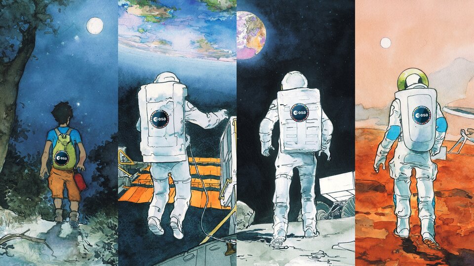
The Máni mission represents an important step in lunar exploration and could play a key role in the future human exploration of space. The methods developed in connection with the mission can also be used to map other celestial bodies within the Solar System. Mars is an obvious candidate for this, particularly given that the goal for both ESA and NASA is for astronauts to travel to the Moon as a stepping stone towards sending the first astronauts to Mars. The Máni mission, as the first mission of its kind, can thus lay the foundation for European - and Danish - leadership in this newly developed mapping method.
The mission exemplifies how Danish fundamental research and innovation can contribute to international scientific efforts and create new opportunities for collaboration between academic institutions and the space industry.
A collaboration between

The European Space Agency's (ESA) strategy 'Explore 2040'
Contact
Jens Frydenvang
Associate Professor
Globe Institute
E-mail: jfrydenvang@sund.ku.dk
Mobile: +45 20 65 50 63
Phone: +45 35 33 39 23
Centre for Star and Planet Formation
Øster Voldgade 5-7
1350 Copenhagen